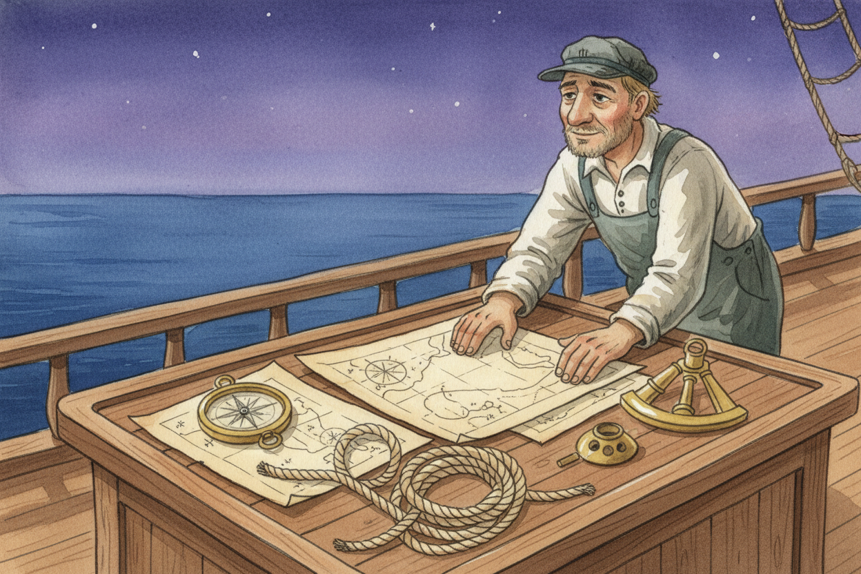
Ocean Detectives
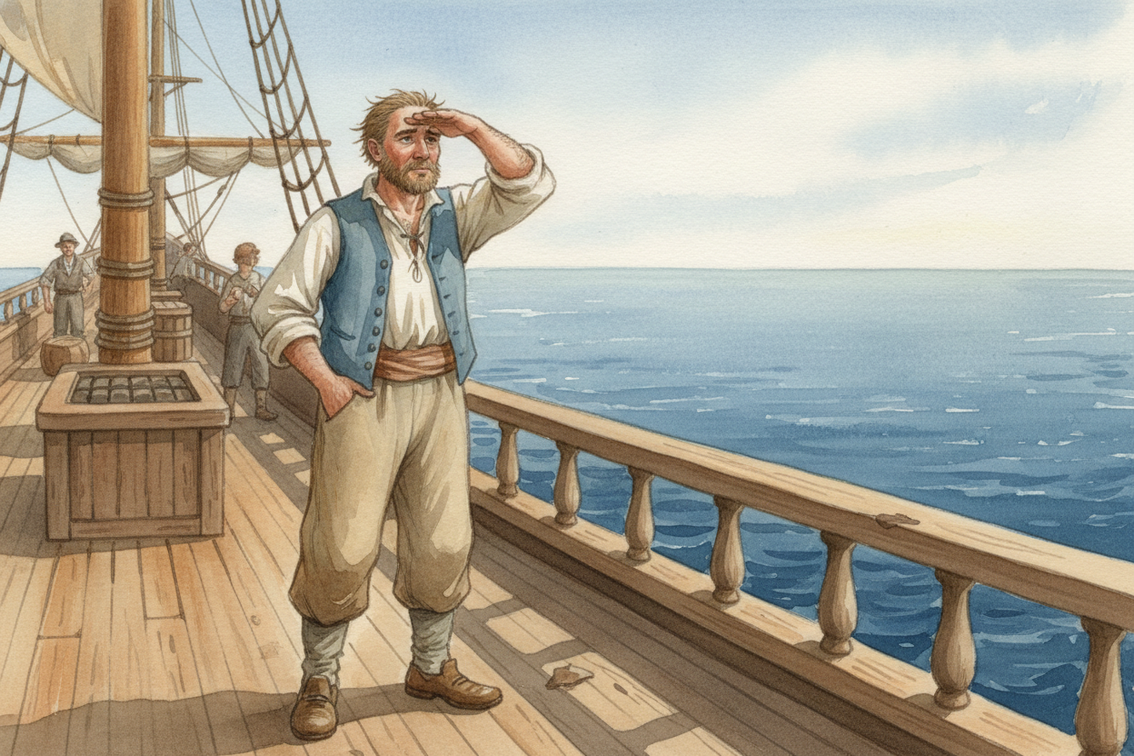
Imagine you're standing on a wooden ship in the middle of the ocean. Water stretches in every direction, flat and endless. No road signs. No landmarks. No phone telling you "turn left in 500 feet." How did sailors a thousand years ago figure out where they were going?
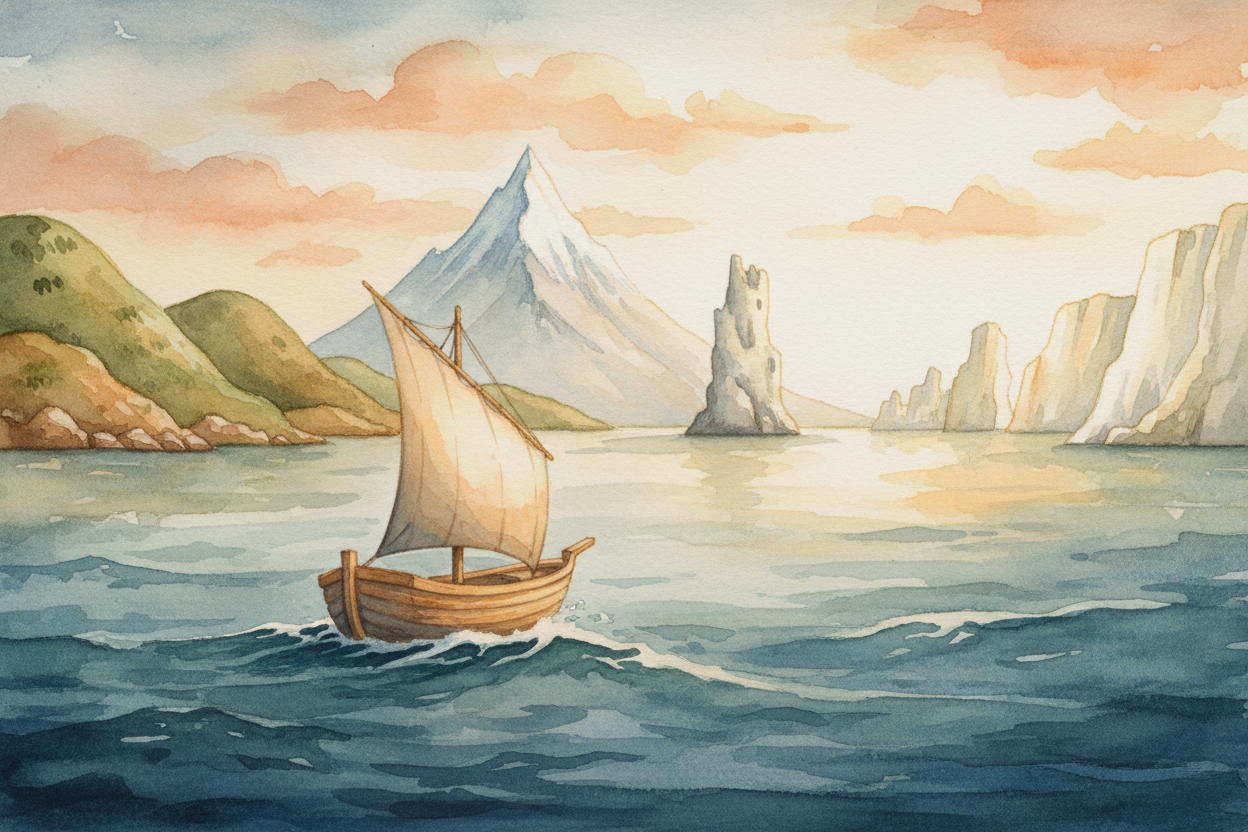
The first trick was simple: stay close to the coast and watch the land. Sailors hugged the shoreline like kids holding the edge of a pool. See that mountain? That weird-shaped rock? Those cliffs? Boom—you know where you are. It's slow, but it works.
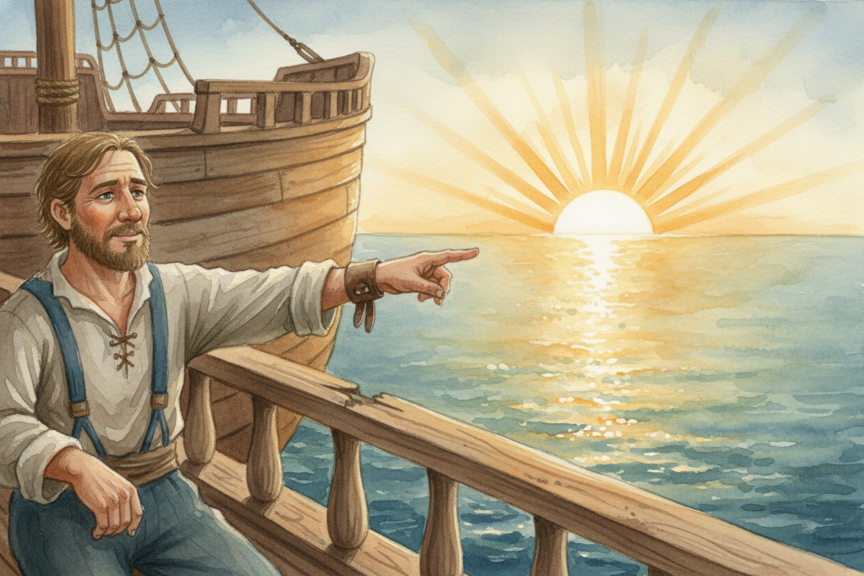
But what about crossing the open ocean, where there's no land for days? Sailors looked up. The sun rises in the east every morning and sets in the west every evening—the most reliable compass in the sky. If the sun's on your right in the morning, you're heading north.
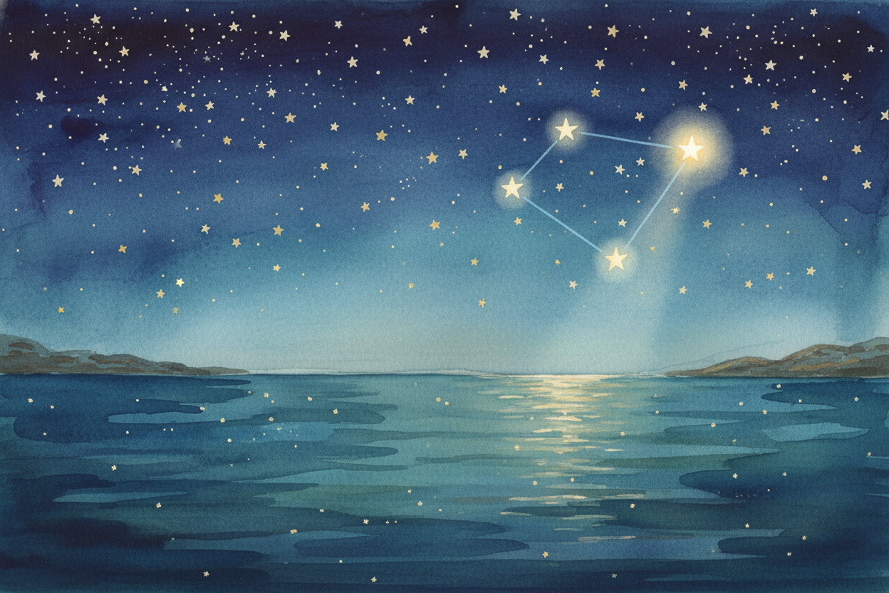
At night, the stars took over. In the Northern Hemisphere, there's one star that barely moves: Polaris, the North Star. It sits almost directly above the North Pole. Find that star, and you know which way is north. The trick is recognizing it—it's at the end of the Little Dipper's handle, like a lamp at the tip of a long spoon.
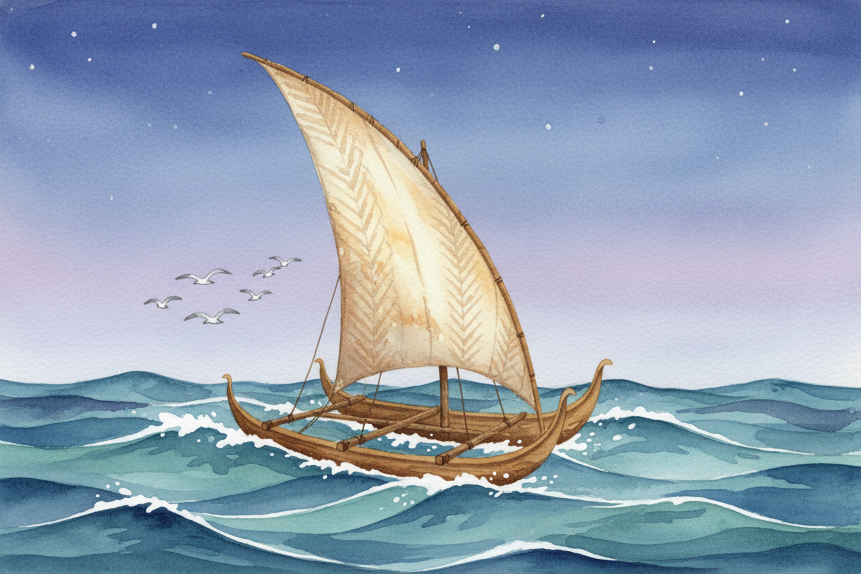
Polynesian sailors in the Pacific didn't even use the North Star—they had their own star map memorized. They also read the waves. Ocean swells move in patterns, and if you know how waves bend around islands hundreds of miles away, you can feel your way across the sea. They navigated by wave, wind, bird, and star—no instruments, just knowledge passed down like family recipes.
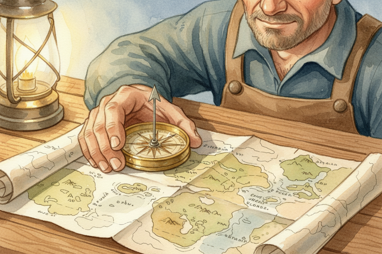
Eventually, someone invented the compass—a magnetized needle that always points north, no matter where you are. Suddenly sailors didn't need clear skies. Foggy? Cloudy? Doesn't matter. The needle swings north like magic. (It's not magic—it's aligning with Earth's magnetic field, the invisible force wrapping around the whole planet.)
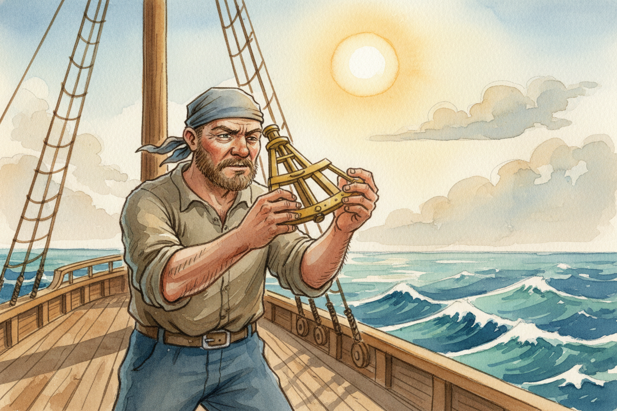
But a compass only tells you direction, not location. To know where you are on the globe, sailors measured the sun's height at noon with a tool called a sextant—basically a fancy protractor with mirrors. The higher the sun, the closer you are to the equator. Math plus sun angle equals latitude: your position north or south. (Longitude—east or west—was way harder and took another few centuries to crack.)
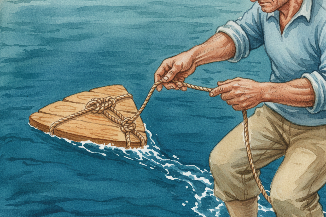
They also dropped a knotted rope overboard with a wooden board tied to the end. The board stayed put in the water while the ship moved forward, and sailors counted how many knots slipped through their hands in a set time. That told them their speed—which is why we still say a ship moves at "knots."
Put it all together: stars and sun for direction, sextant for latitude, knotted rope for speed, compass for cloudy days, and a lifetime of watching birds, clouds, and wave patterns. Ancient sailors were part navigator, part scientist, part detective—reading clues written in water and sky.
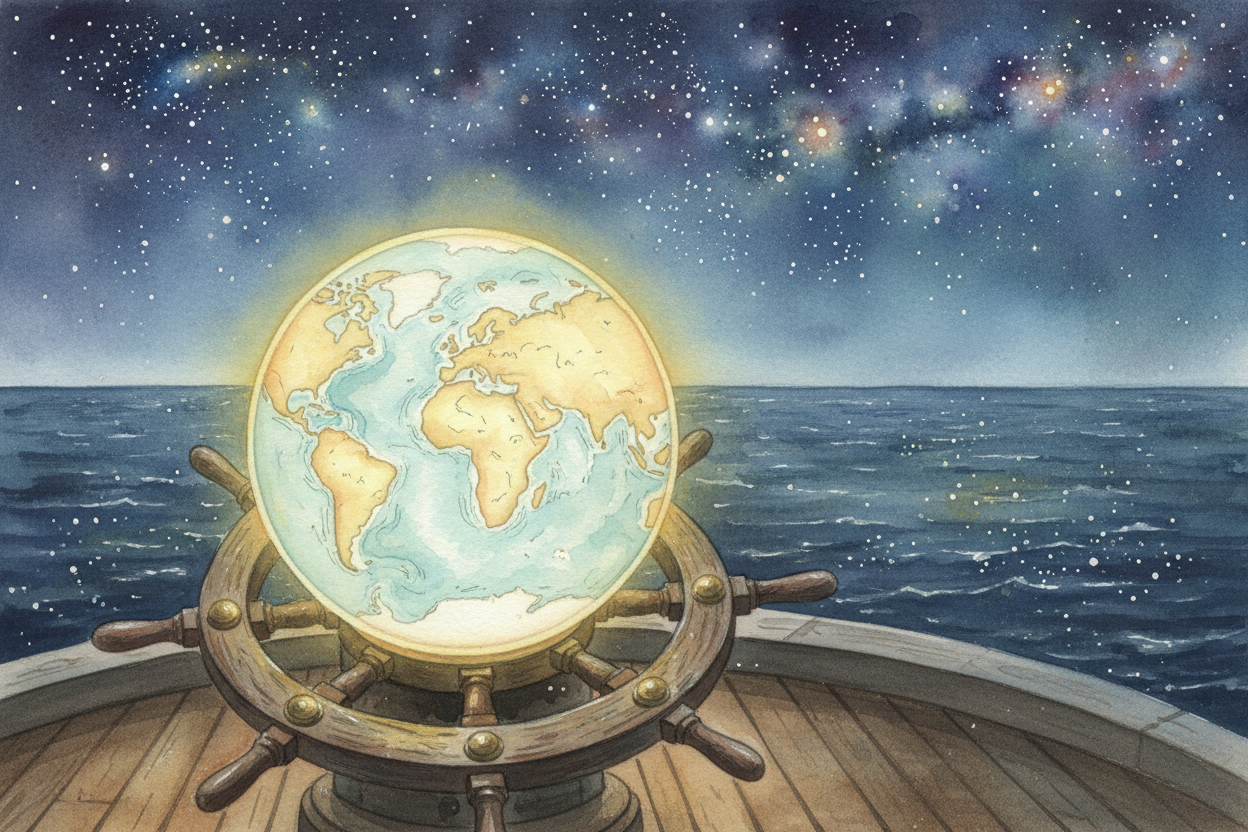
Today we tap a screen and a satellite 12,000 miles up tells us exactly where we are. But every GPS coordinate is still just a fancy version of what those first sailors did: look up, pay attention, and figure out where you are in the world.