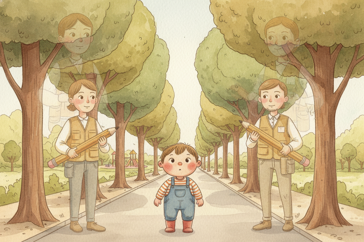
Drawing the Future
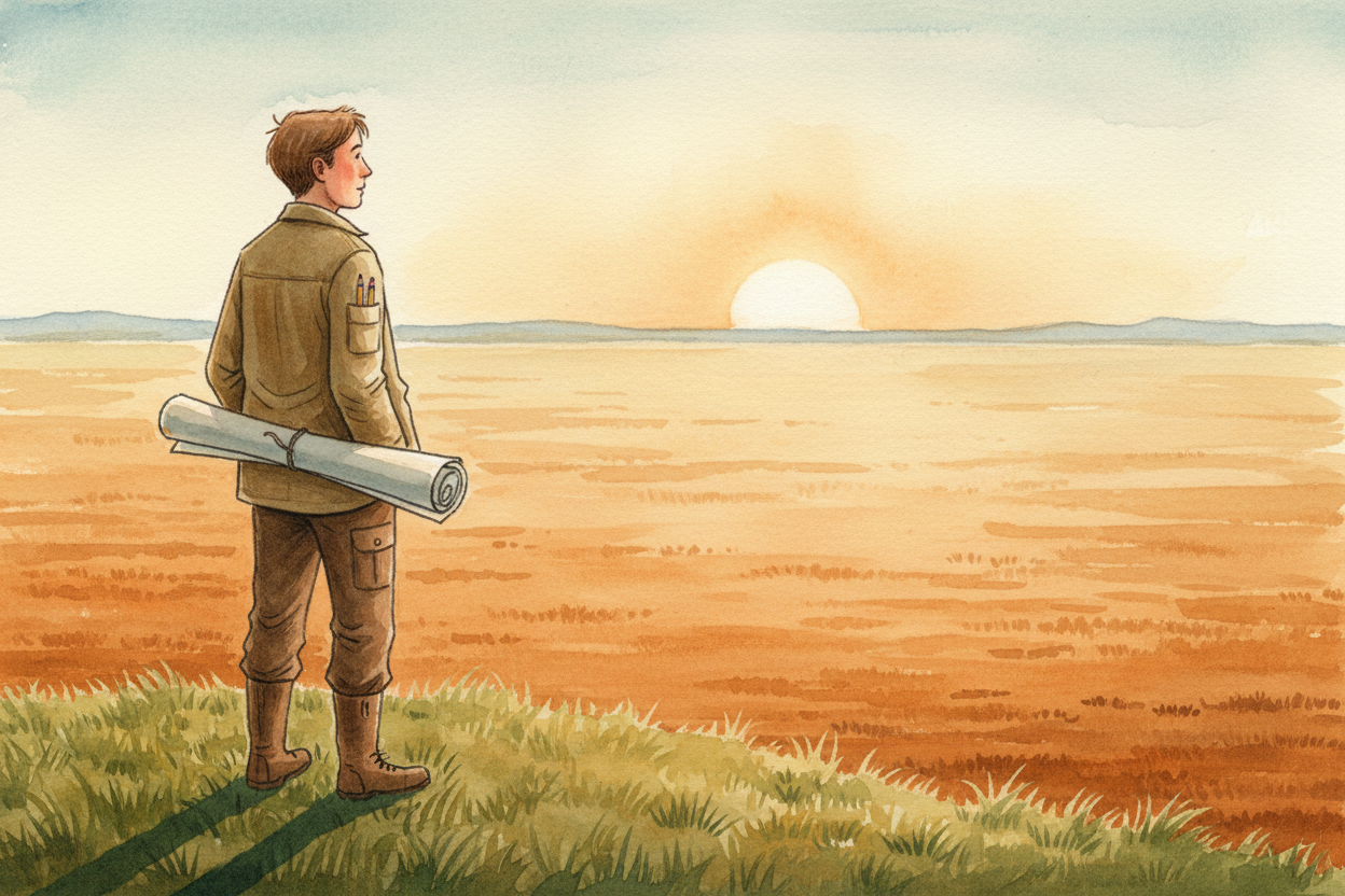
Someone once had to look at flat, empty land and decide: road here, park there, houses over there. Before any city existed, someone drew the first lines on a map. How did they know where everything should go?

The very first thing city planners think about is water. Rivers give people drinking water, so early cities grew up right beside them. The river decides where the center of town goes — everything else has to work around it.
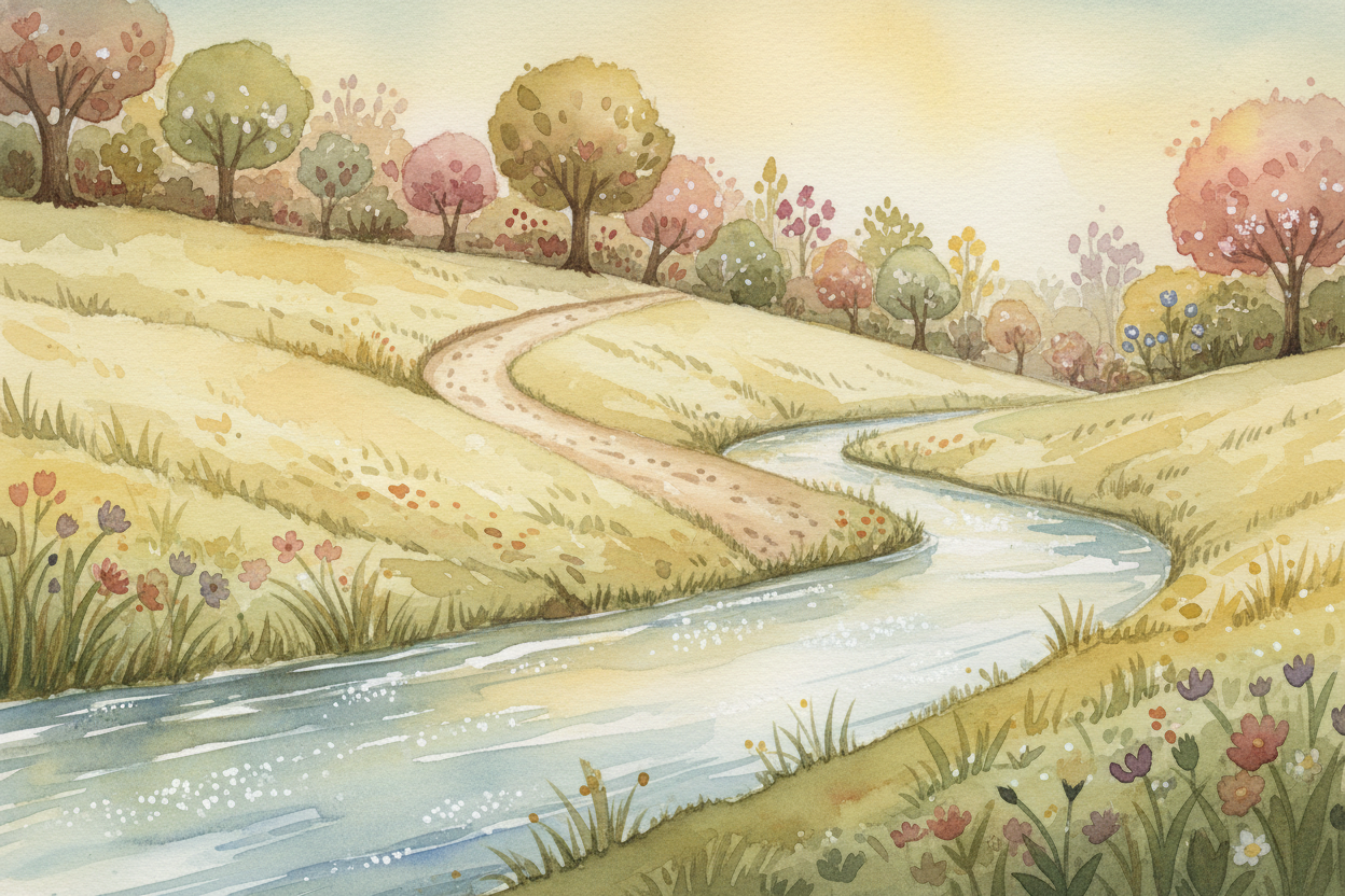
Next come the roads, and roads follow the laziest rule in the world: they connect the places people already walk. If everyone's been cutting across a field to get from the river to the hill where they grow food, that worn path becomes the first road. Roads are just frozen footprints.
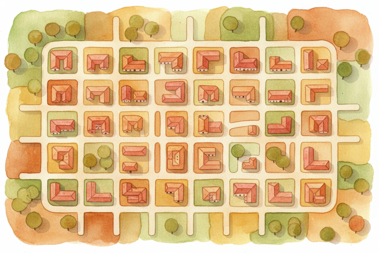
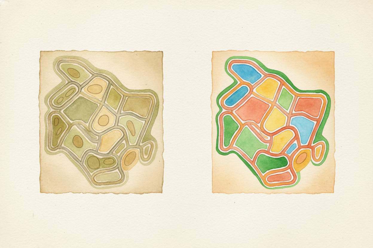
Once you have a road, you need cross-streets — roads that let people get from one main road to another without walking all the way around. Planners draw a grid, like a waffle, so you can always find a route. Grids are boring to look at from above, but they're wonderful to navigate.
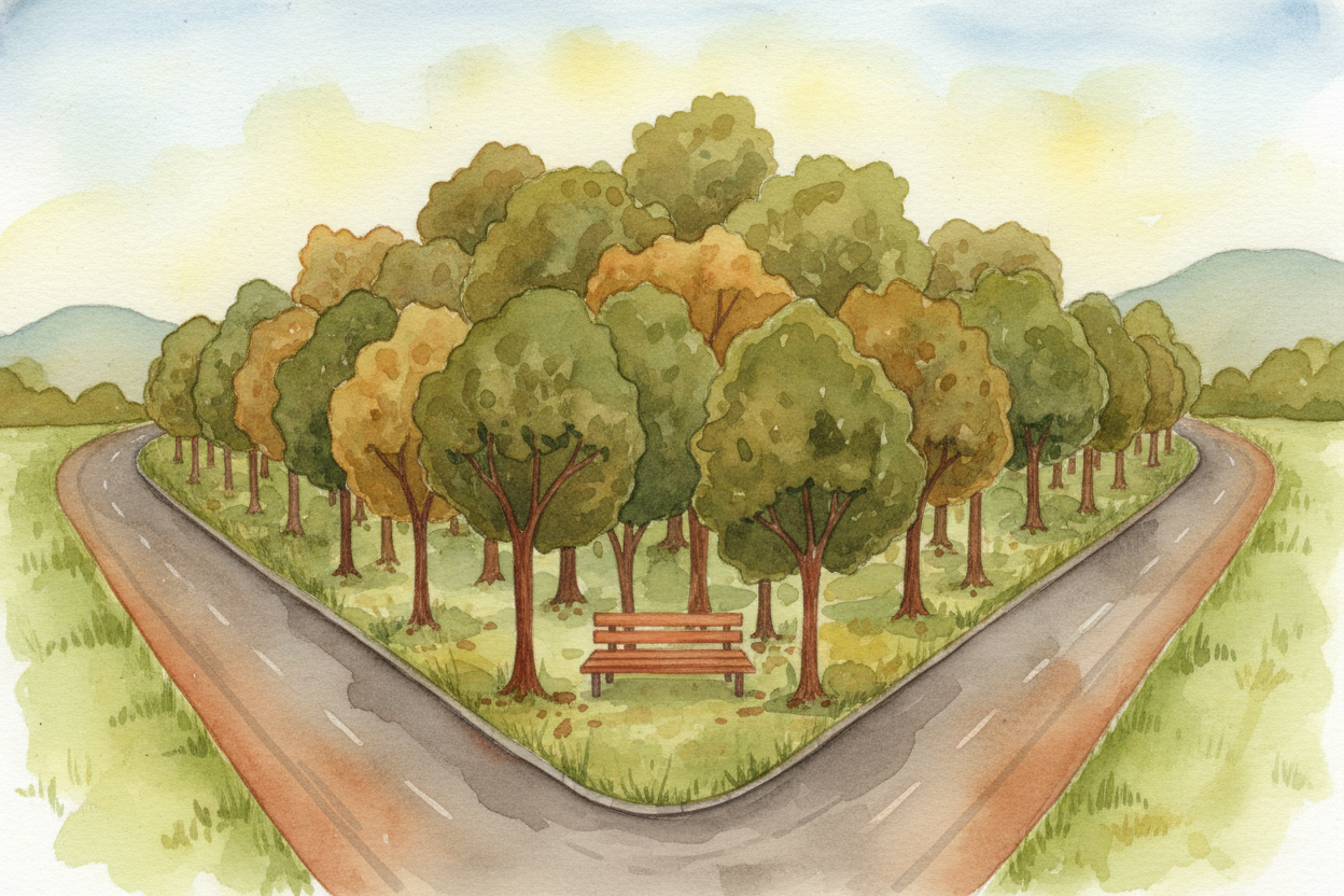
Now the tricky part: where do the parks go? You can't just drop a park anywhere. Planners look for three things. First, low spots where rain collects — terrible for houses, perfect for trees that soak up water. Second, steep hills where building is expensive. Third, leftover weird-shaped bits of land between roads.
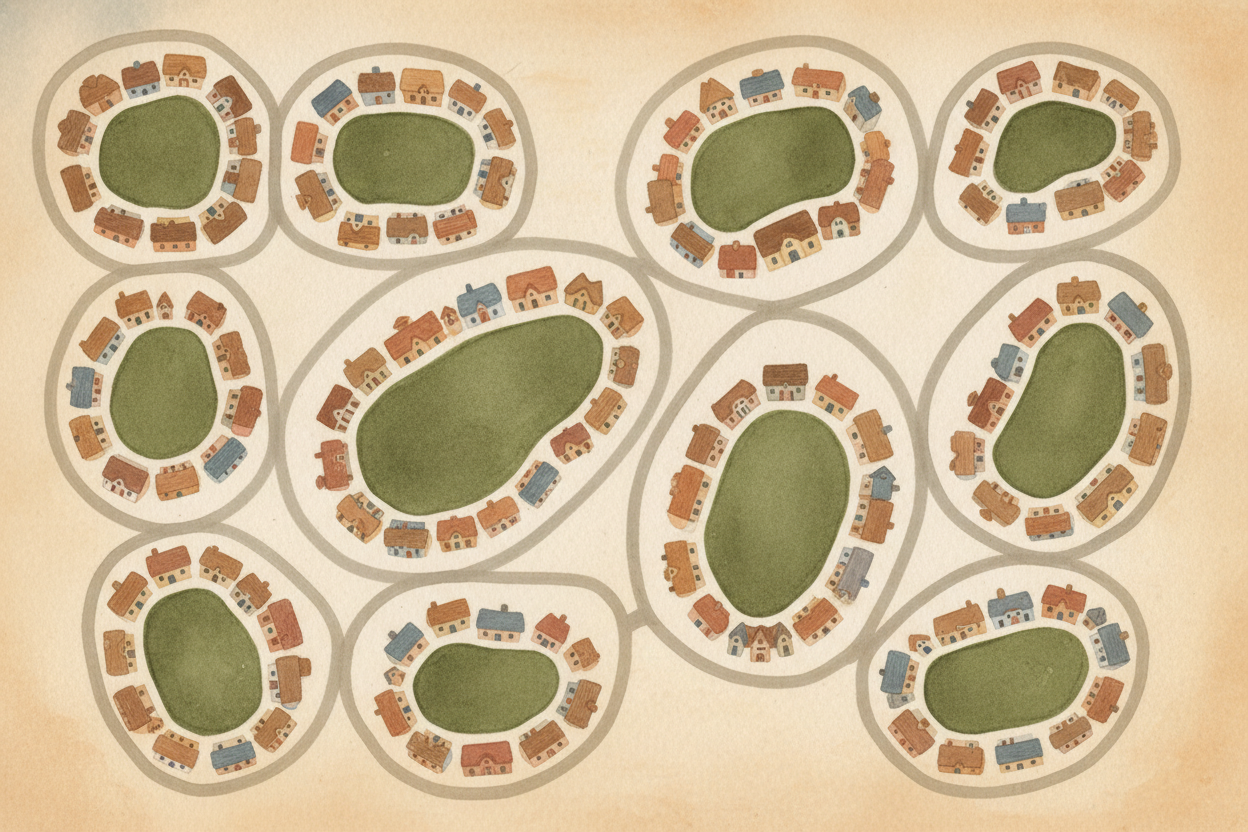
Parks also go where people can walk to them. Planners try to put a small park within ten minutes of every home. Think of parks like chocolate chips in a cookie — you want them spread out evenly, not all clumped in one corner where half the cookie has none.

Big decisions come from big meetings. Planners show the city drawings of three or four different plans: "Plan A has a giant park here but narrow roads. Plan B has wide roads but tiny parks." People argue. They vote. One plan wins. The drawings become real.
Here's the secret: no plan is ever perfect. Twenty years later, people realize they need a road where the old plan put a park, or a park where the plan put a road. Cities grow and change and fix their mistakes. The map keeps getting redrawn.
So when you walk down your street to your favorite park, you're walking through hundreds of small decisions made by people staring at maps, arguing in meetings, and trying to guess what the city would need. They were drawing the future, one line at a time.