Map's Honest Lies
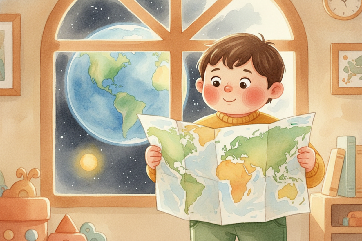
You're holding a map the size of a magazine, and somehow the entire Earth — 197 million square miles of oceans, mountains, cities, and clouds — fits on it. How does that work? How do you shrink a giant spinning ball onto flat paper without breaking it?
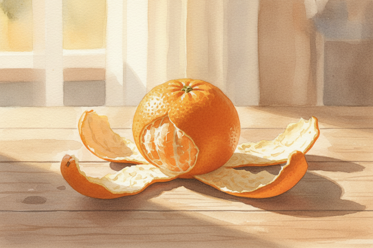
First, you have to pick what you're willing to lose. Here's the problem: Earth is a sphere, and paper is flat. You can't peel the skin off an orange and lay it flat without ripping it or stretching it. Mapmakers face the same impossible task, so they cheat — they choose which truth to keep and which to bend.

Some maps keep shapes honest. If Greenland looks like Greenland on the globe, it looks like Greenland on the map — same outline, same angles. But to do that, they have to lie about size. On these maps, Greenland looks as big as Africa, even though Africa is actually fourteen times larger. The map stretches things near the poles like taffy.
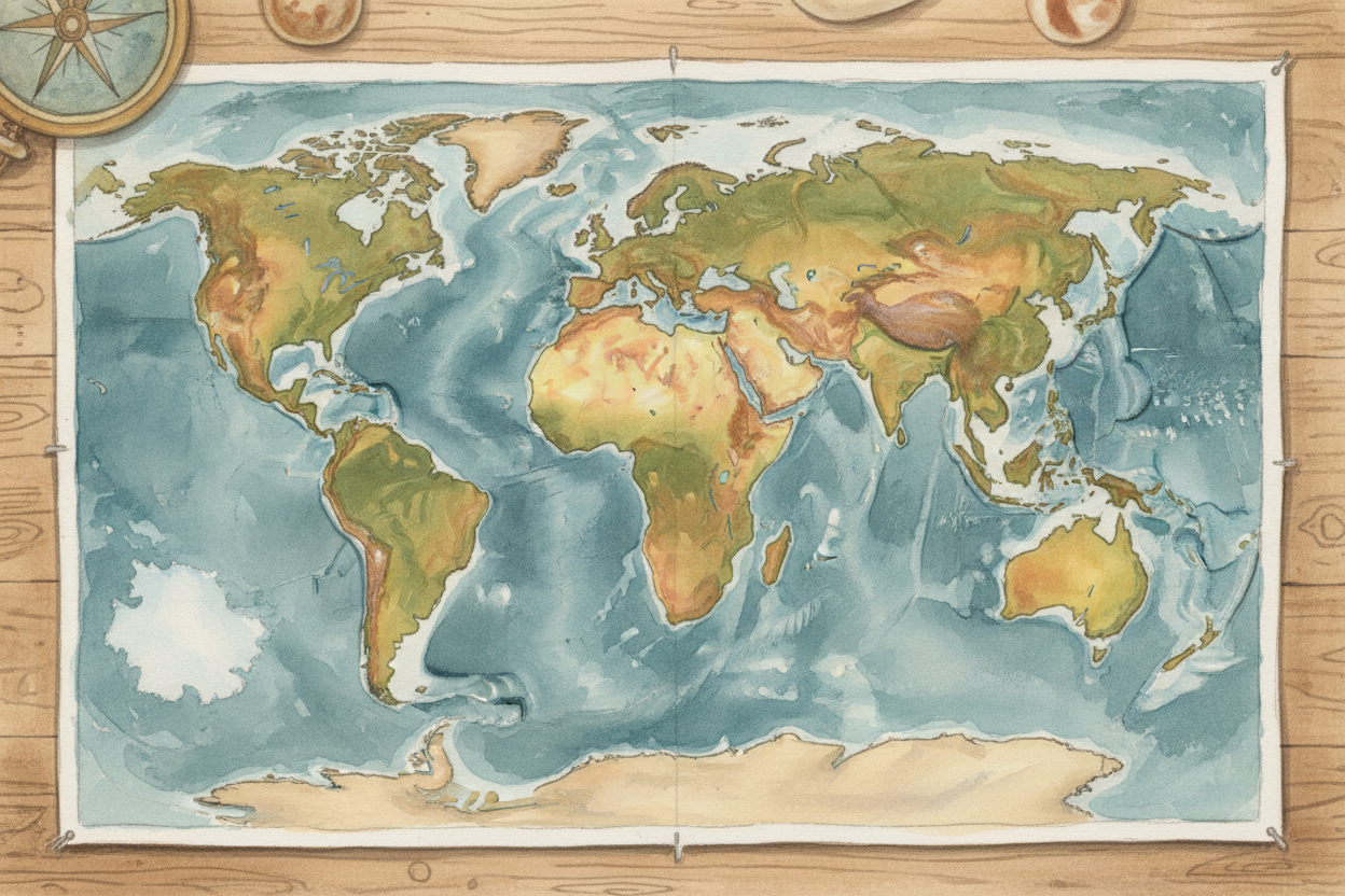
Other maps keep size honest. Every country gets the right amount of space — Africa huge, Greenland small — but the shapes get squashed and twisted. Antarctica spreads across the bottom like melted wax. Russia looks like it's been sat on. You win area, you lose angles.
Some mapmakers try to split the difference. They accept that you can't have both, so they make maps that are pretty good at shapes and pretty good at sizes, but perfect at neither. It's like tuning a guitar — you get it close enough to sound right, even though the math says it can't be perfect.
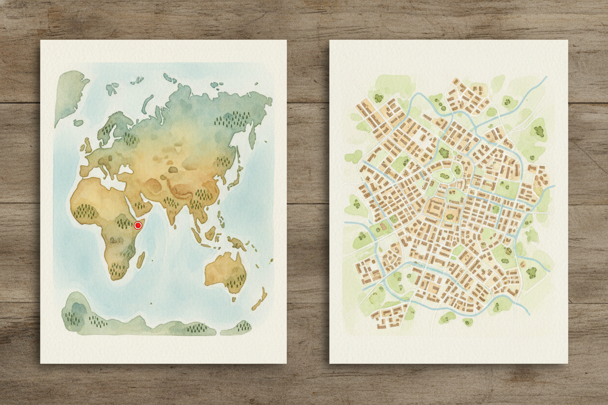
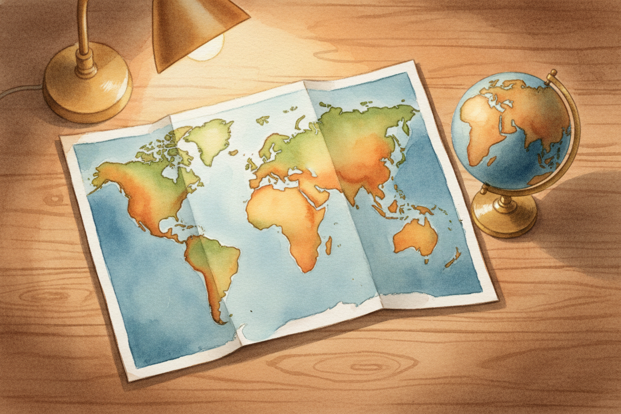
But shrinking isn't just about flattening. It's also about scale — deciding how much real Earth one inch of paper represents. A world map might say '1 inch equals 1,000 miles.' A city map might say '1 inch equals 1 block.' Same paper size, wildly different amounts of world. You're not just shrinking the Earth; you're choosing how close to zoom in.
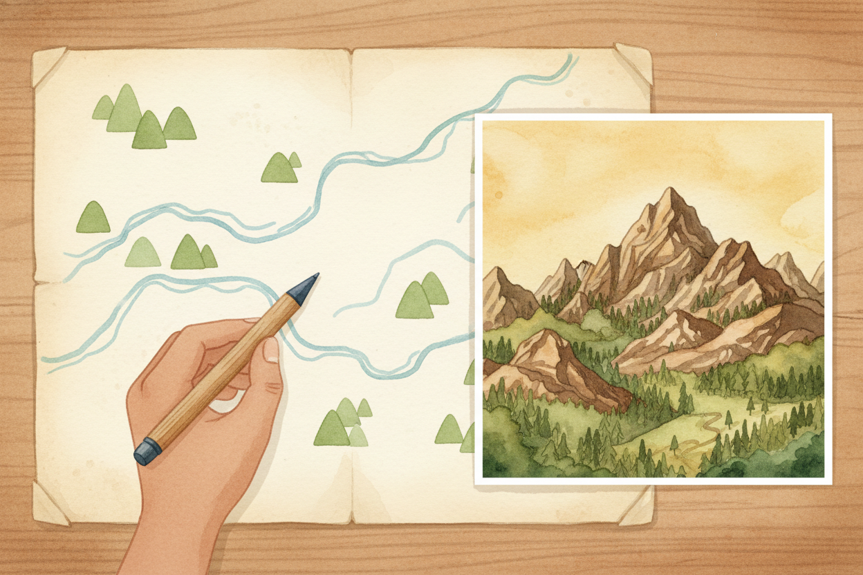
And here's the trick mapmakers use to keep things clear: they throw stuff out. A world map doesn't show every tree, every house, every crack in the sidewalk. It shows borders, rivers, mountains — the big stuff. The closer you zoom in, the more detail you can afford to draw. Shrinking means choosing what matters at that size.
So maps don't really shrink the world — they translate it. They take a three-dimensional spinning ball and turn it into a flat drawing, bending some truth to keep other truth, zooming to the right height, and sketching only what you need to see. Every map is a choice, a compromise, a little lie in service of a bigger truth: here's where you are, here's where you're going.