Earth's Secret Grid

You know how sometimes you need to meet a friend, and "by the park" isn't specific enough because there are three parks and your friend picks the wrong one? The whole Earth has that problem. Seven continents, five oceans, millions of cities — how do you tell someone EXACTLY where you are?

Hundreds of years ago, sailors invented an invisible grid that wraps around the whole planet. It's made of imaginary lines — they're not painted on the ground or floating in the sky, but they're as useful as if they were real. These lines let you pinpoint any spot on Earth with just two numbers.

The first set of lines runs east-west, circling the Earth like the rings on a stack of pancakes. These are called latitude lines. The fattest ring sits at the equator — the Earth's middle — and that's zero degrees. As you move north toward the Arctic or south toward Antarctica, the numbers go up. The North Pole is 90 degrees north. The South Pole is 90 degrees south.
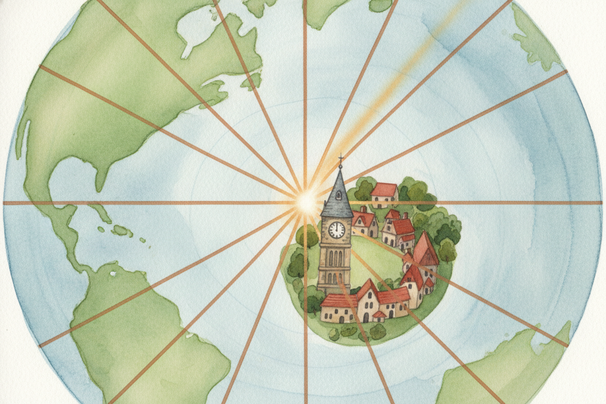
The second set of lines runs north-south, from the top of the world to the bottom, like the segments of an orange. These are longitude lines. The zero-degree line is called the Prime Meridian, and it runs through Greenwich, England — picked basically because England had the fanciest clocks when everyone agreed on the system. From there, you count east or west up to 180 degrees, which is smack in the middle of the Pacific Ocean.

Put the two together and you've got an address for anywhere. The Eiffel Tower? 48.8 degrees north, 2.3 degrees east. The Great Pyramid? 29.9 degrees north, 31.1 degrees east. Your bedroom? It's got coordinates too, accurate to within a few meters. The grid works everywhere — oceans, deserts, mountaintops, the middle of a forest where there aren't any street signs.
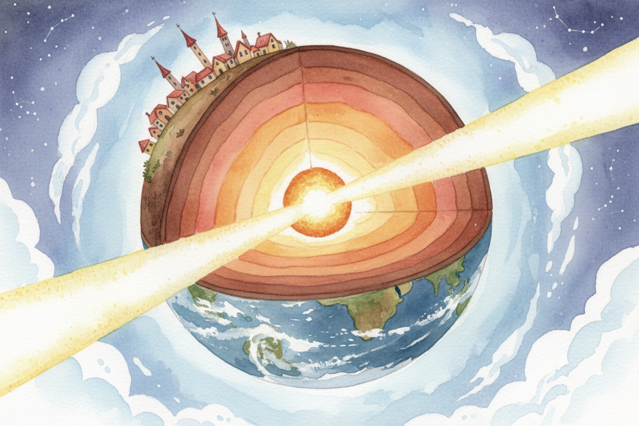
Why degrees, like angles in math class? Because the Earth is round. Imagine you're standing at the center of the planet, shining a flashlight out through the surface. The angle between your beam at the equator and your beam at, say, Paris — that's latitude. The angle between Greenwich and Tokyo, measured through the Earth's core — that's longitude. You're measuring angles around a sphere.
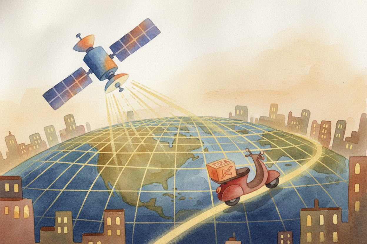
These invisible lines power everything from your GPS to hurricane tracking to the pizza delivery app. Satellites orbiting overhead don't care about country borders or street names — they just read the grid. When your phone says "You are here," it's translating latitude and longitude into a dot on a map. Same system, every phone, every country, every day.

And if you ever want to bury treasure or hide a time capsule, you don't write "behind the old oak tree" — trees fall down. You write "32.7 degrees north, 117.2 degrees west" and tuck the note in a bottle. Two hundred years from now, when your great-great-grandkids dig it up, the grid will still be there. The Earth spins, but the lines spin with it.