World in Your Hands
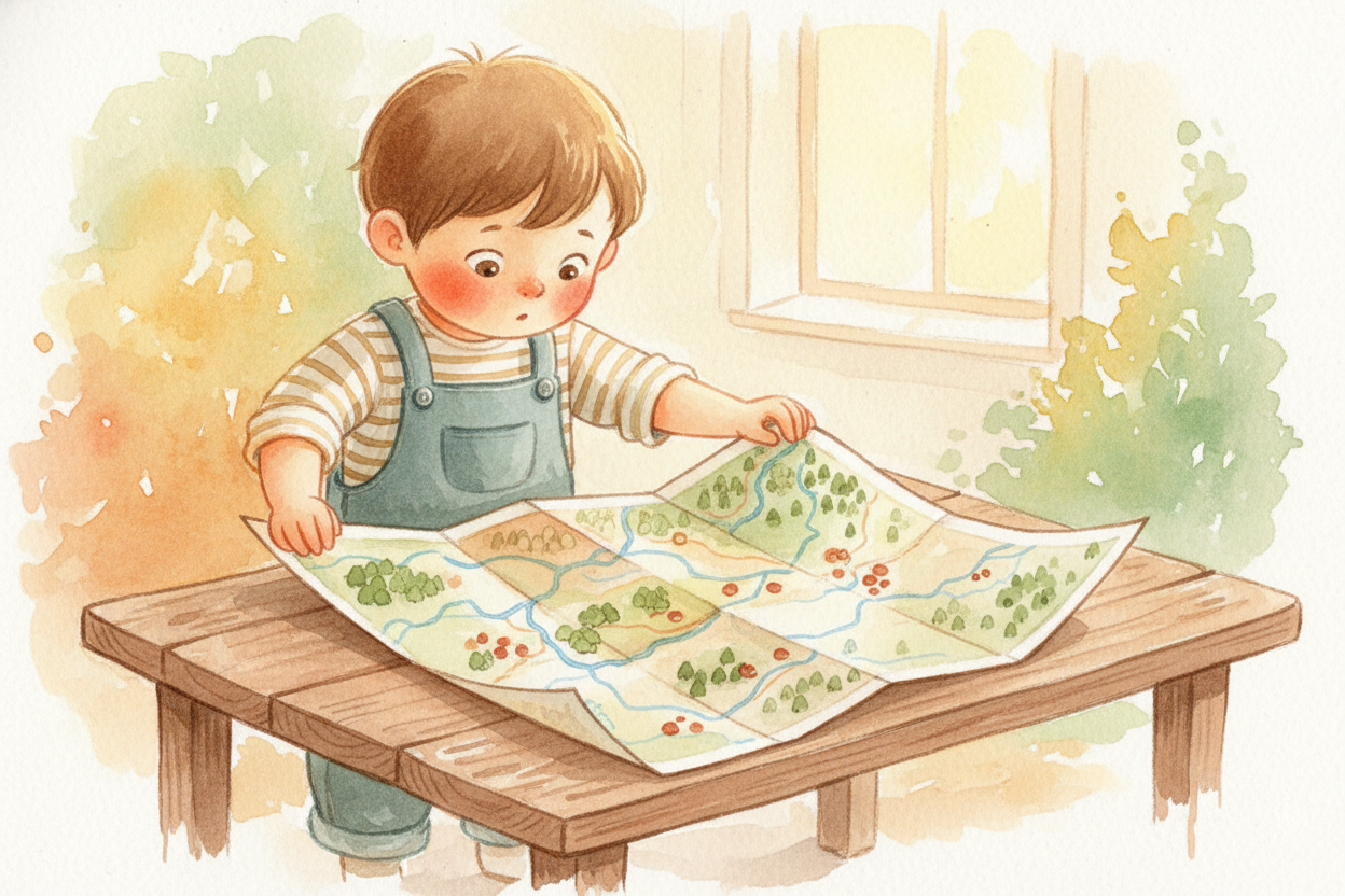
You unfold a map and see squiggly blue lines, green splotches, tiny dots labeled with names you can't pronounce. It's a bunch of colors and symbols crammed onto paper. But here's the secret: a map is a drawing of the world from the sky, shrunk down so small you can hold it in your hands.

Imagine you could float straight up, higher and higher, until cities look like ant colonies and rivers look like blue ribbons. That's what mapmakers pretend they're doing — looking down from an imaginary bird's-eye view. They draw what they see, turning the real three-dimensional world into a flat picture.
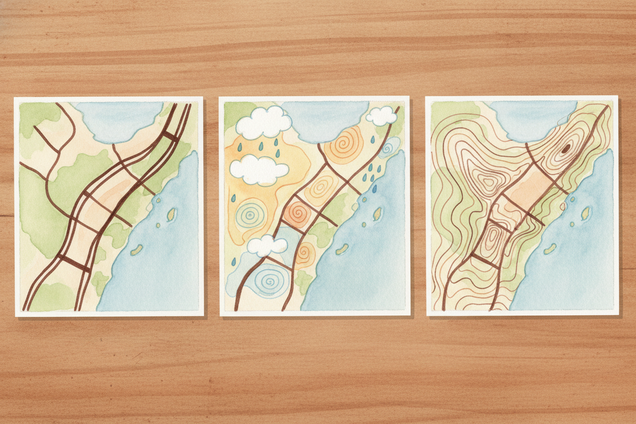
Of course, they can't draw everything. If a mapmaker tried to show every tree, every mailbox, every crack in the sidewalk, the map would be as big as the place itself — completely useless. So maps choose what to show. A road map highlights highways and exits. A weather map highlights storm clouds and temperatures. Each map is a tool designed for one job.
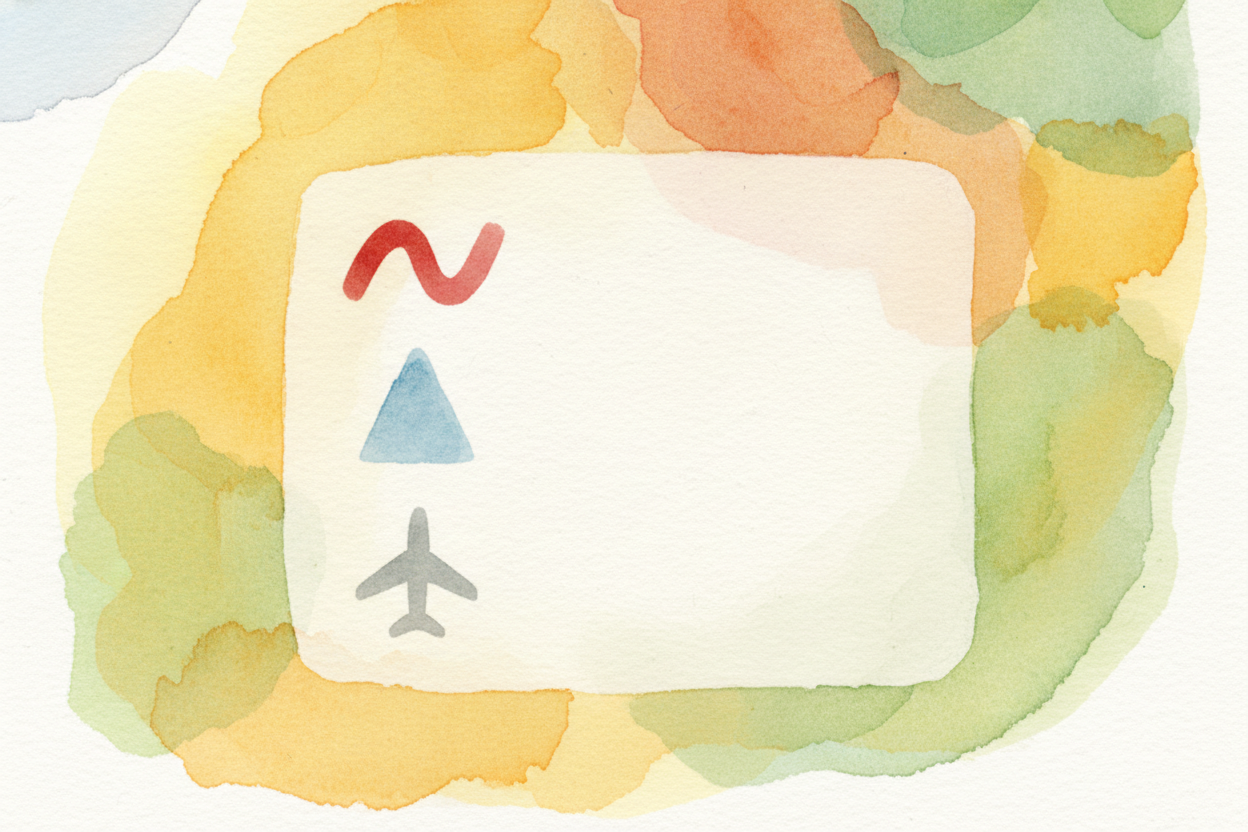
Maps use symbols like a secret code. A thick red line might mean "major highway." A blue triangle might mean "campground." A tiny airplane icon might mean "airport here." The legend — that little box in the corner — is your decoder ring. Once you crack the code, the map starts talking to you.
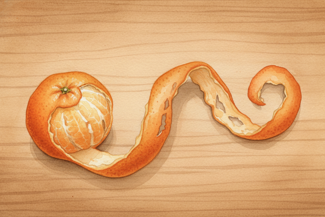
But here's the tricky part: Earth is round, and paper is flat. You can't peel an orange and lay the skin flat without stretching or tearing it. Mapmakers face the same problem. They use math tricks called projections to flatten the globe, but every projection distorts something — shapes get stretched, distances get wonky, or sizes get exaggerated.
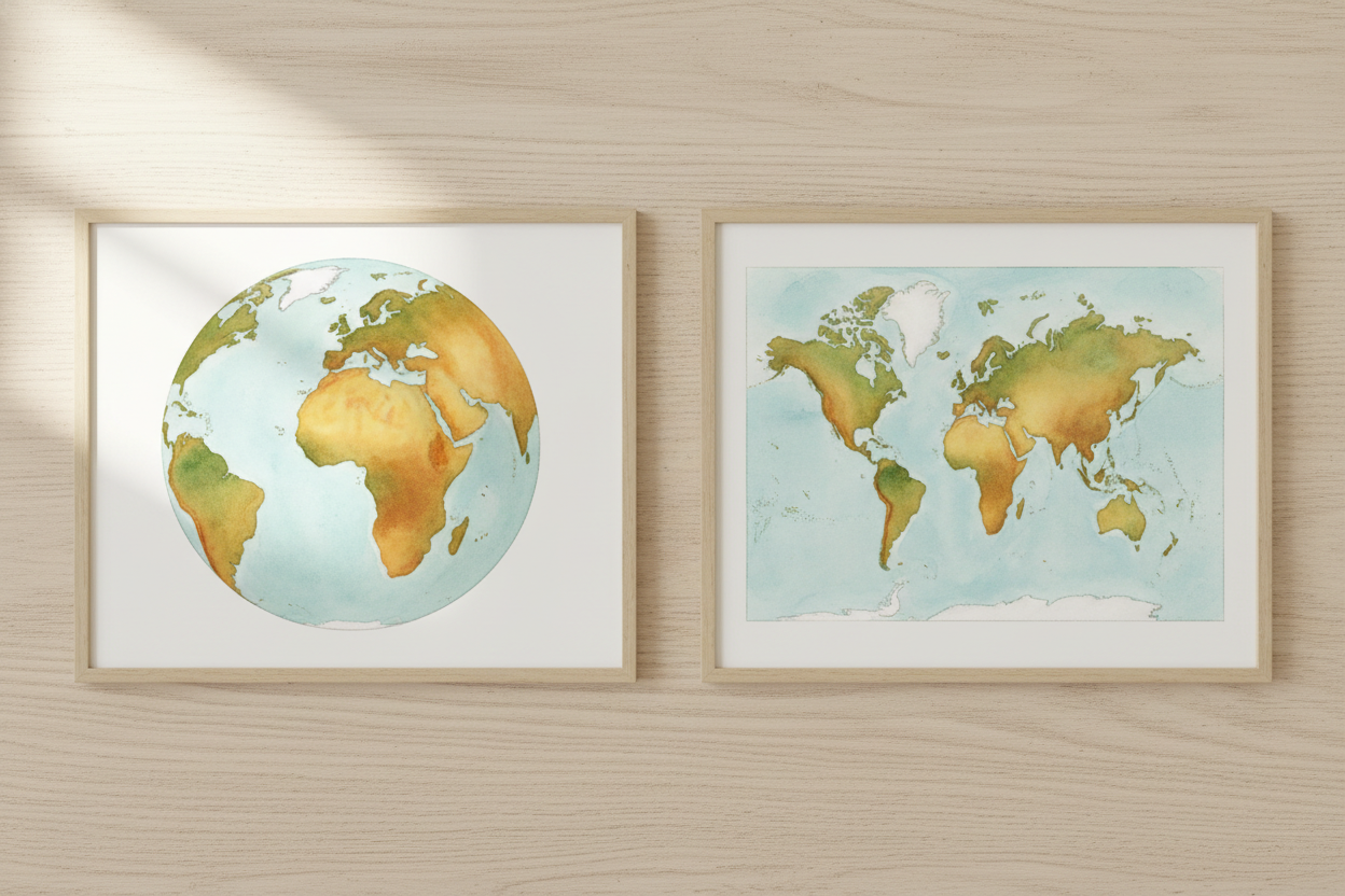
Some old maps stretched Greenland to look as big as Africa, when really Africa is fourteen times larger. Modern mapmakers know this and pick projections that distort less — or at least distort things people care about less. There's no perfect map of the whole world, just trade-offs.

Maps also show us things we can't see with our eyes. Population density maps paint crowded cities in dark red, empty deserts in pale yellow. Election maps divide regions by who voted for whom. Treasure maps — well, those show where someone buried a chest of gold doubloons, if you believe the stories.
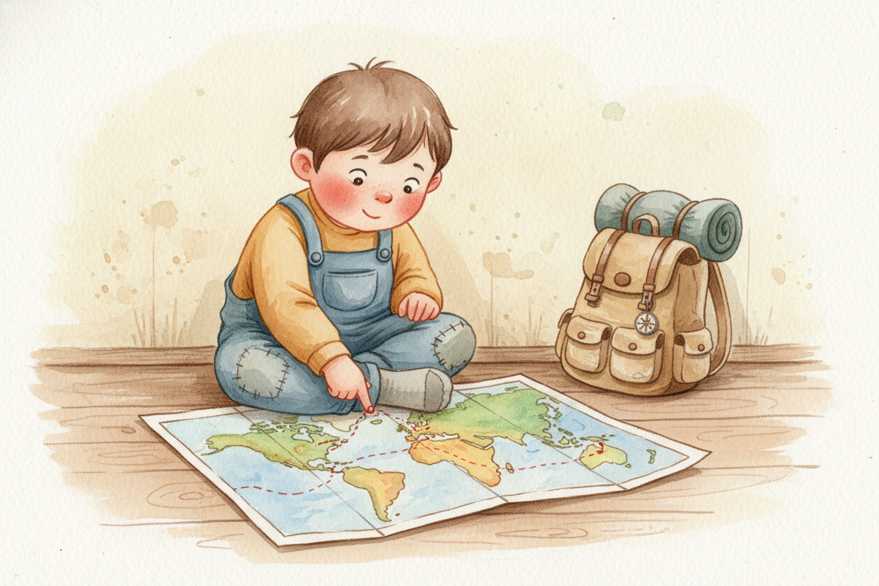
Here's what makes maps magical: they let you plan. You can trace a route from your house to the beach before you leave your driveway. You can see which neighborhoods flood when it rains. You can find the coffee shop two blocks away or the mountain range three countries over. A map is a superpower — the ability to see the whole landscape at once, from a viewpoint you could never reach on your own.
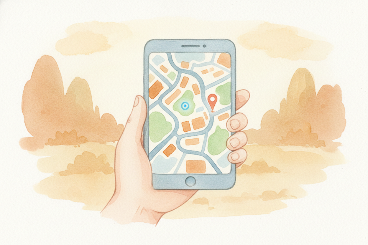
And now, of course, we carry maps in our pockets. Your phone knows where you are — a glowing dot on a digital map that updates every second. The map zooms in when you need street names, zooms out when you need the big picture. It's still the same idea: the world, shrunk down, waiting to guide you wherever you want to go.