Invisible Lines
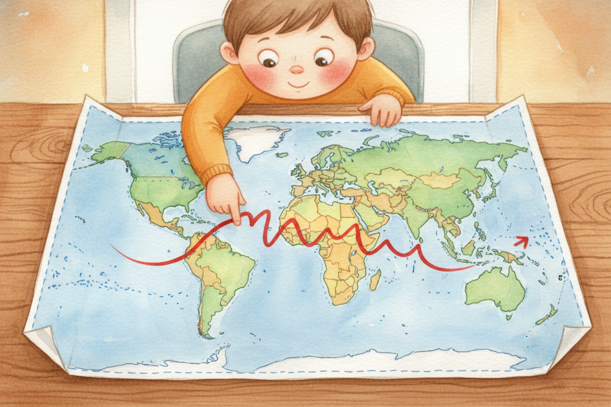
Look at a map and you'll see lines everywhere — squiggly ones following rivers, straight ones slicing through deserts, dotted ones nobody quite agrees on. These are borders, the invisible fences between countries. But why do we draw them at all?
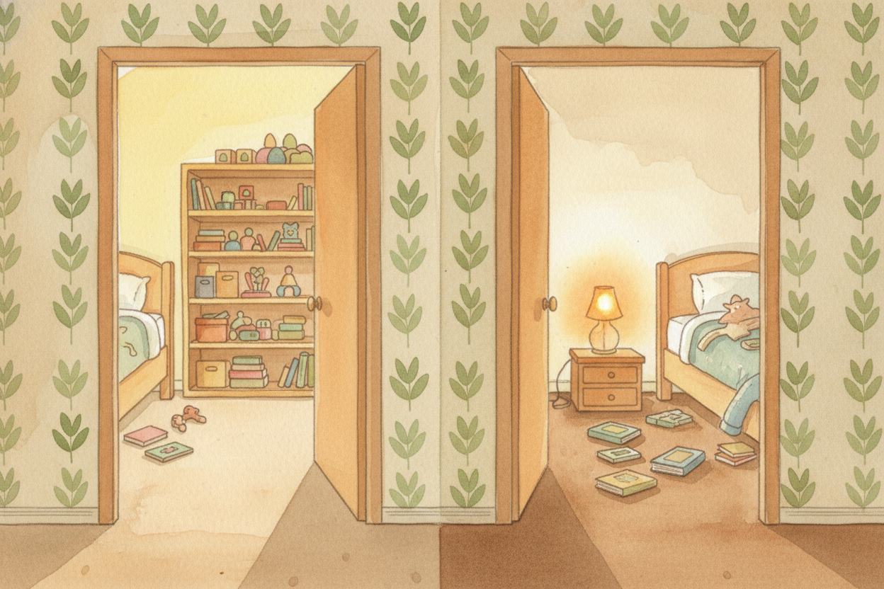
Imagine your bedroom is a country. Inside, you decide the rules: shoes off, no little brothers allowed, lights out at ten. Your sister's room next door has different rules: shoes on, door always open, stay up reading till midnight. The hallway between your rooms is the border — the spot where one set of rules stops and another begins.
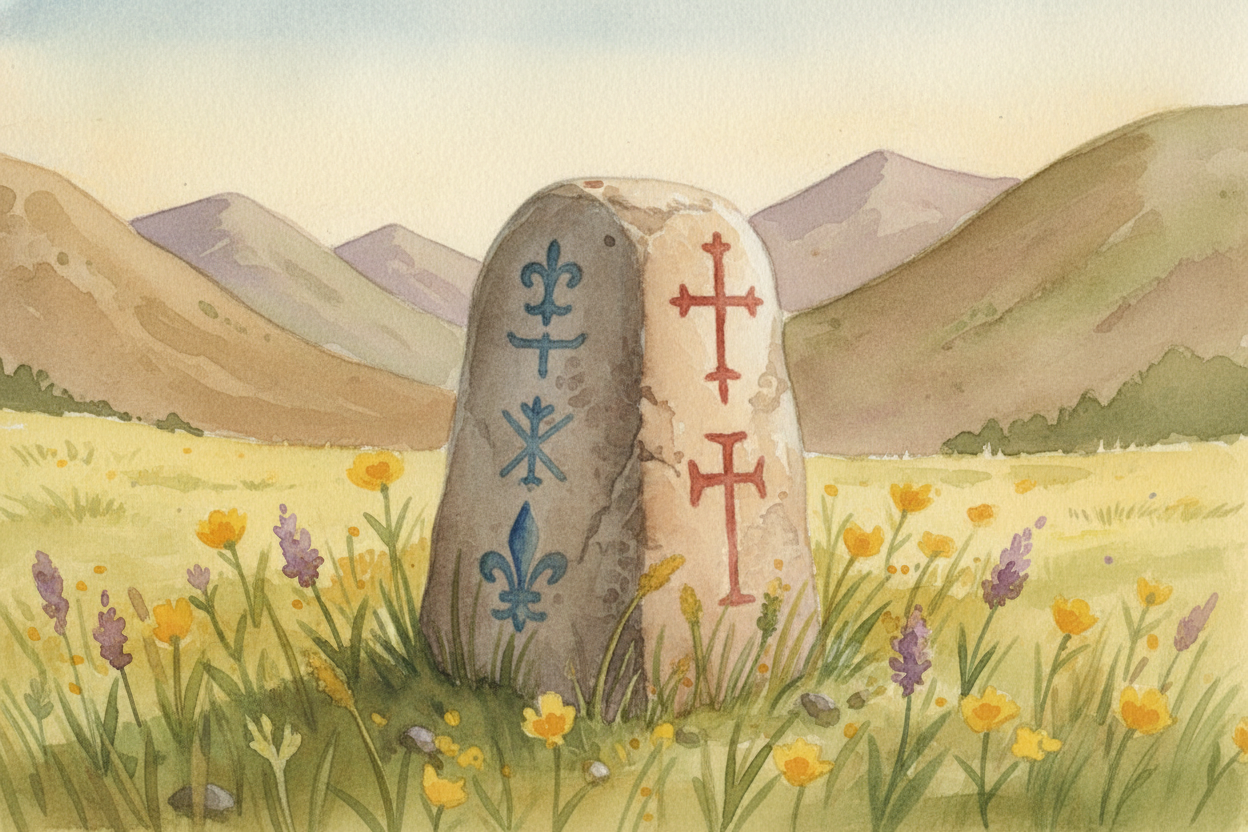
Countries work the same way, just bigger. A border marks where one government's rules end and another's begin. In France, you pay with euros and drive on the right. Step across the border into Switzerland, you pay with francs and still drive on the right — but now Swiss laws apply, not French ones. The land looks the same; the invisible line changes everything.
So why not just have one giant country with one set of rules for everyone? Because people in different places want different things. Norwegians decided they like high taxes that pay for free healthcare. Americans chose lower taxes and you pay your own doctor bills. Borders let both groups live the way they prefer, in the same world.
Borders also protect resources. If your country has oil under the ground or rich fishing waters offshore, the border says "this belongs to us." Without borders, anyone could show up and take it. The line creates ownership, like a property fence — and like any fence, neighbors sometimes argue about where exactly it should go.
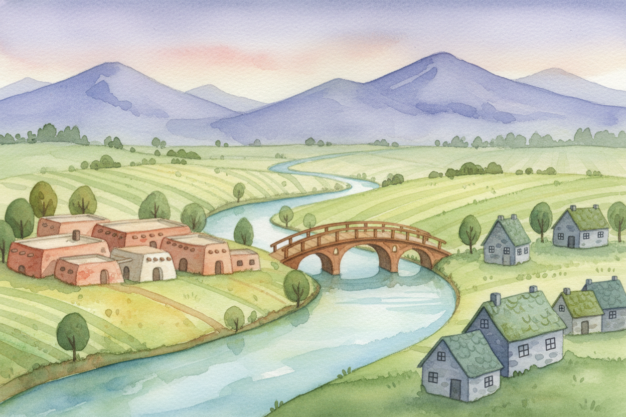
Some borders follow nature: rivers that are easy to see, mountain ridges that are hard to cross. The Rio Grande draws much of the line between Mexico and the United States. The Pyrenees mountains separate France and Spain. Nature made a clear edge, so people said "let's use that."
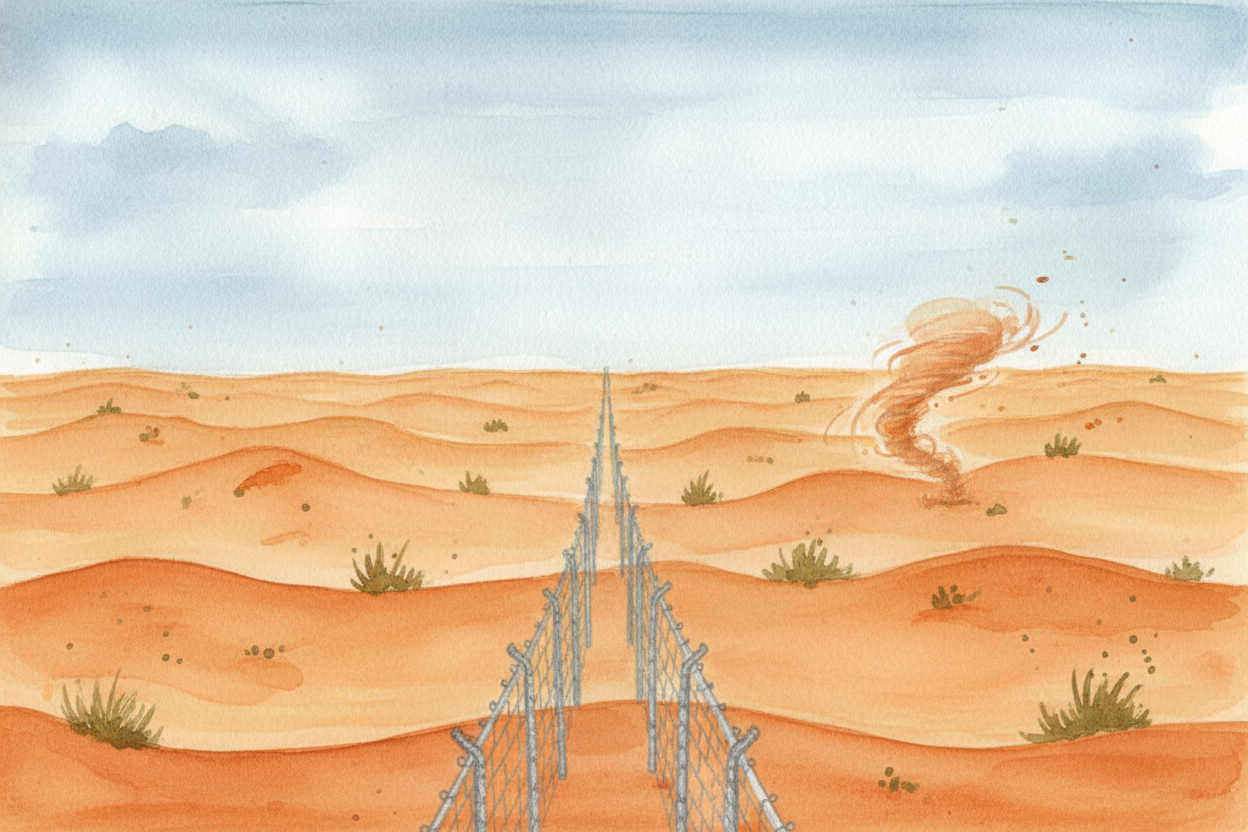
Other borders are perfectly straight lines drawn with a ruler, ignoring rivers and mountains completely. Why? Often because someone far away drew them quickly, splitting up land they'd never visited. Much of Africa and the Middle East got straight-line borders when European empires divided the map in the 1800s, cutting right through where groups of people actually lived.
Borders aren't permanent. They've moved thousands of times through history — after wars, through treaties, when countries split apart or merge together. Germany used to be two countries with a guarded border through Berlin; now it's one country and the border is gone. The lines on the map are always someone's decision, and decisions can change.
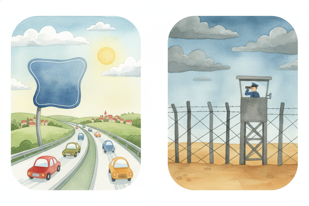
Today, some borders have walls and guards checking passports. Others are just signs by the road — you drive past and you're in a new country. The European Union made borders between member countries so relaxed you barely notice them. The border between North and South Korea is one of the most heavily guarded places on Earth. Same idea, wildly different results.
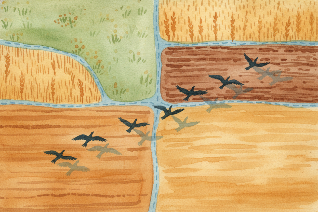
So borders are tools — ways to organize who decides what, who owns what, who belongs where. They're not natural or inevitable; they're lines we drew and agreed on, and sometimes fought over. The planet doesn't care about them. Rivers and birds and weather cross borders without stopping. But to us humans, those invisible lines matter very much indeed.